CENTIPEDE
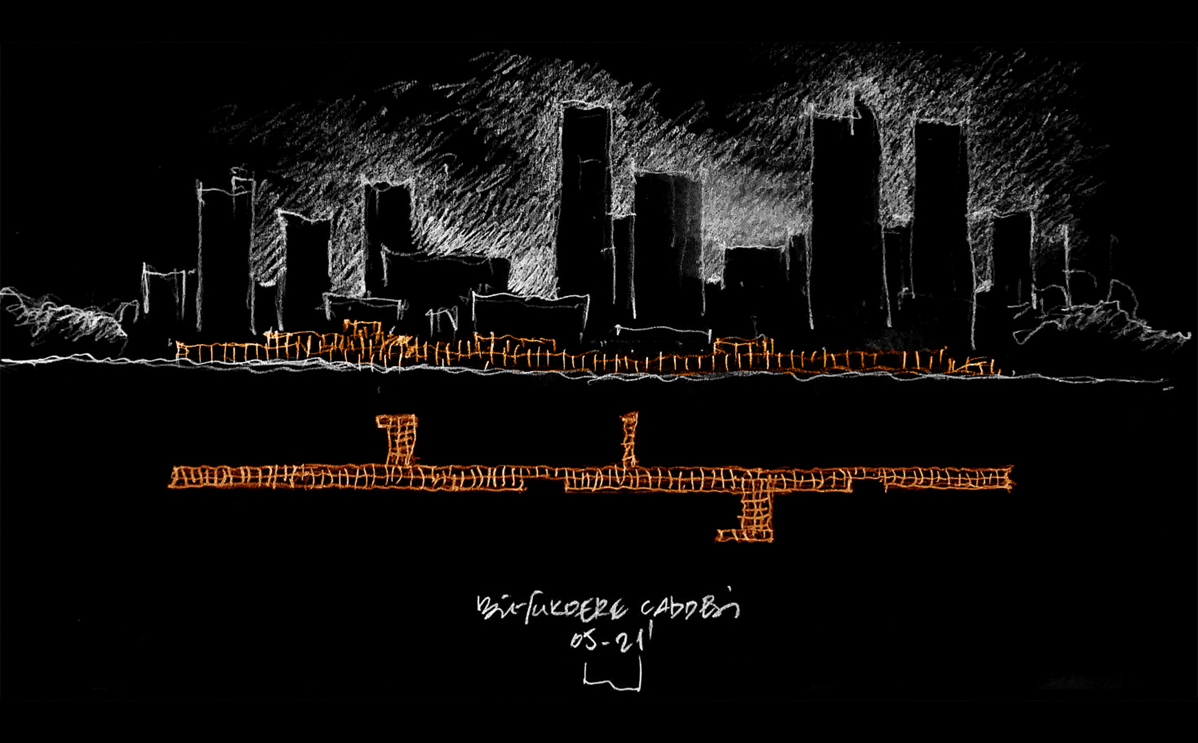
Hatt-ı Bâlâ:
The line considered to pass through the highest points of the hills.
A line passing through the peaks. (Persian)
The physical density created by the rapidly increasing population in metropolises makes the production of sustainable transportation scenarios increasingly important. The solutions created within these scenarios need to provide safe and comfortable options for urban residents while incorporating methods that prevent environmental pollution. For these reasons, producing more pedestrian-friendly and walkable areas in cities is becoming more meaningful every day for health, livability, and sustainability.
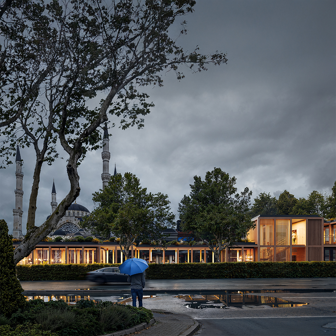
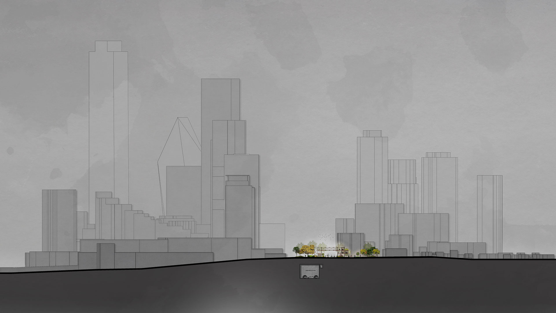
In this context, it would not be wrong to claim that the interruption of pedestrian flow in many parts of the city is one of Istanbul’s most significant urban problems. This situation, caused by fundamental deficiencies such as urban infrastructure and holistic planning strategies, as well as the highly varied topography, negatively affects the city’s quality of life. In Istanbul, which is settled on many hills, the ridge extending approximately 16 kilometers from Taksim Tunnel in the south to Maslak Haciosman region in the north constitutes Istanbul’s ‘hatt-ı bâlâ’. Unlike other routes in the city, this axis has an average gradient of no more than 3%. However, despite this topographical reality, walking along this axis today is almost impossible due to infrastructure and urban planning issues, as well as the dominance of automobile traffic. Yet, by truly defining this line and designing it with a holistic perspective that allows for uninterrupted pedestrian circulation, Istanbul could gain a very important urban backbone.
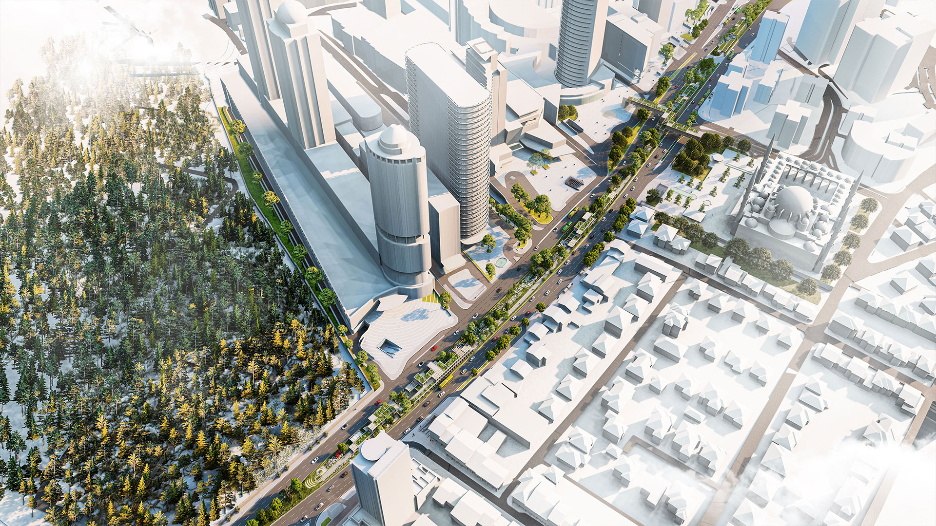
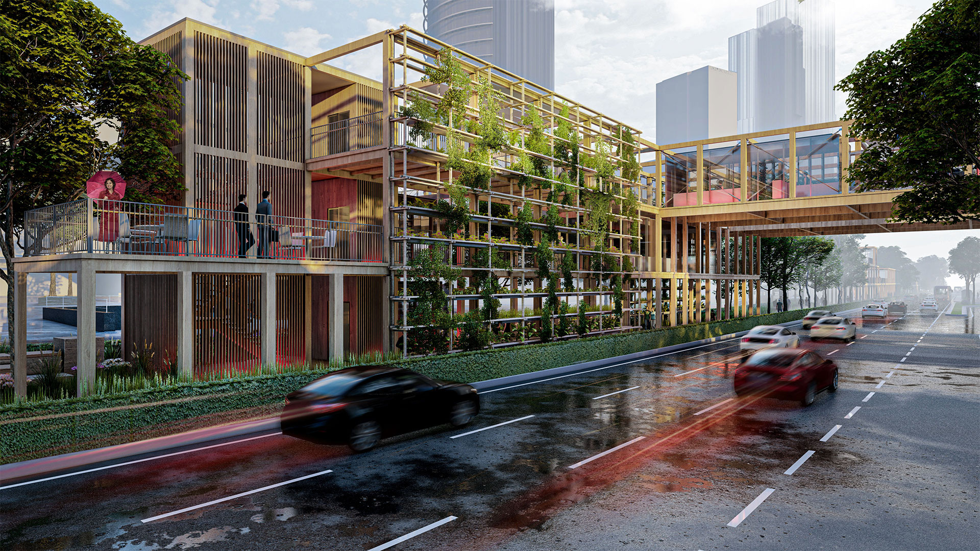
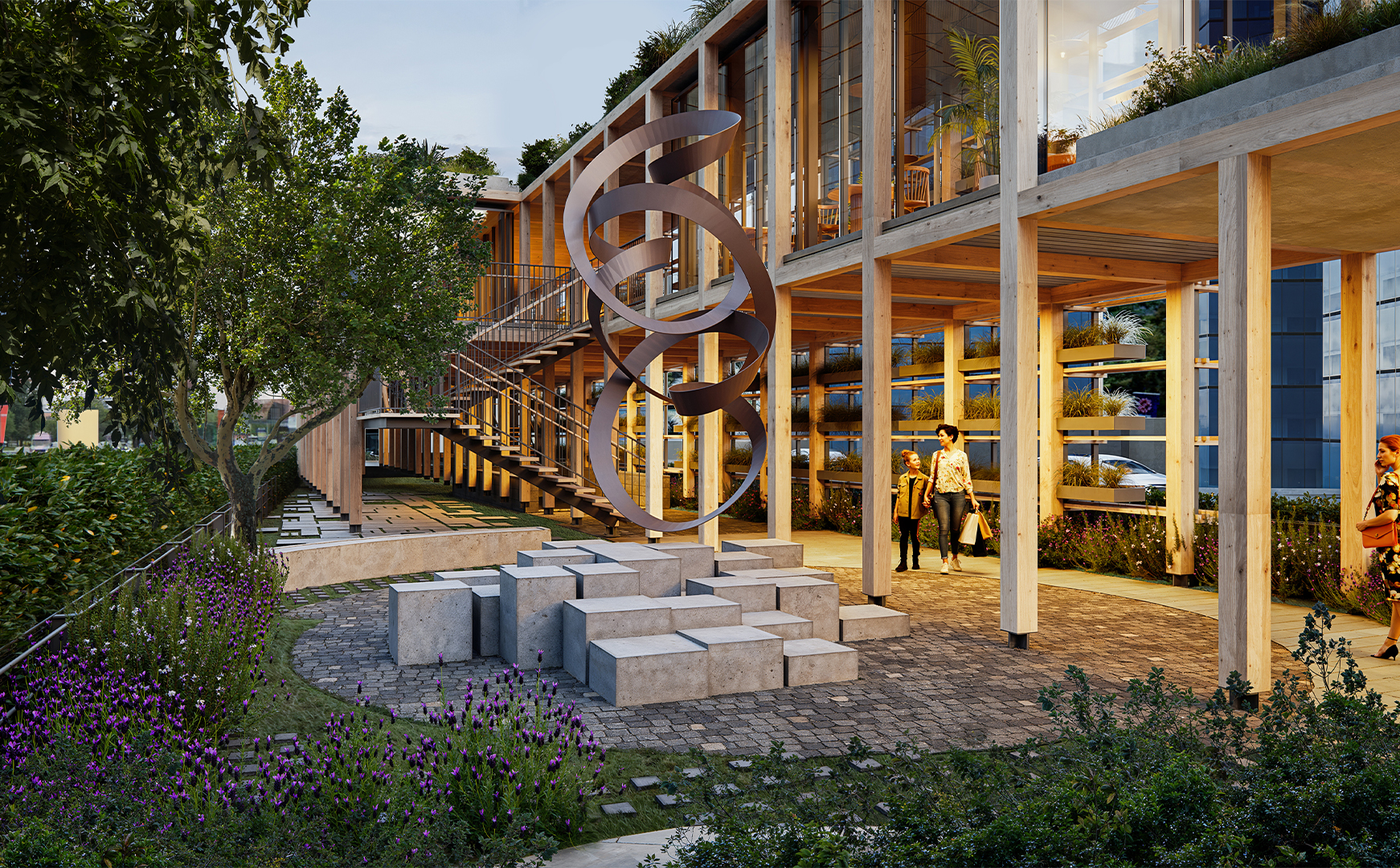
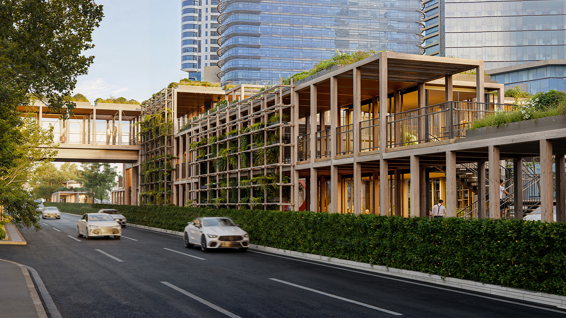
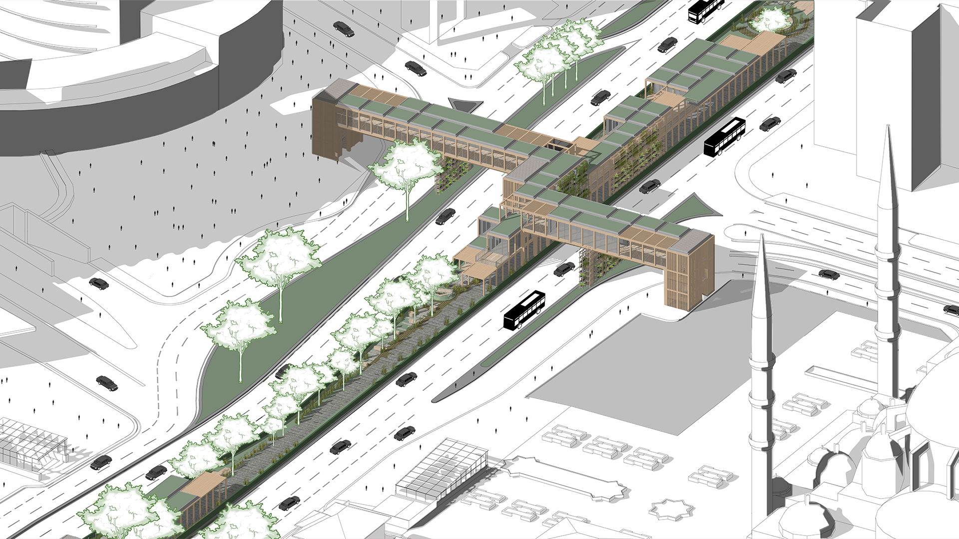
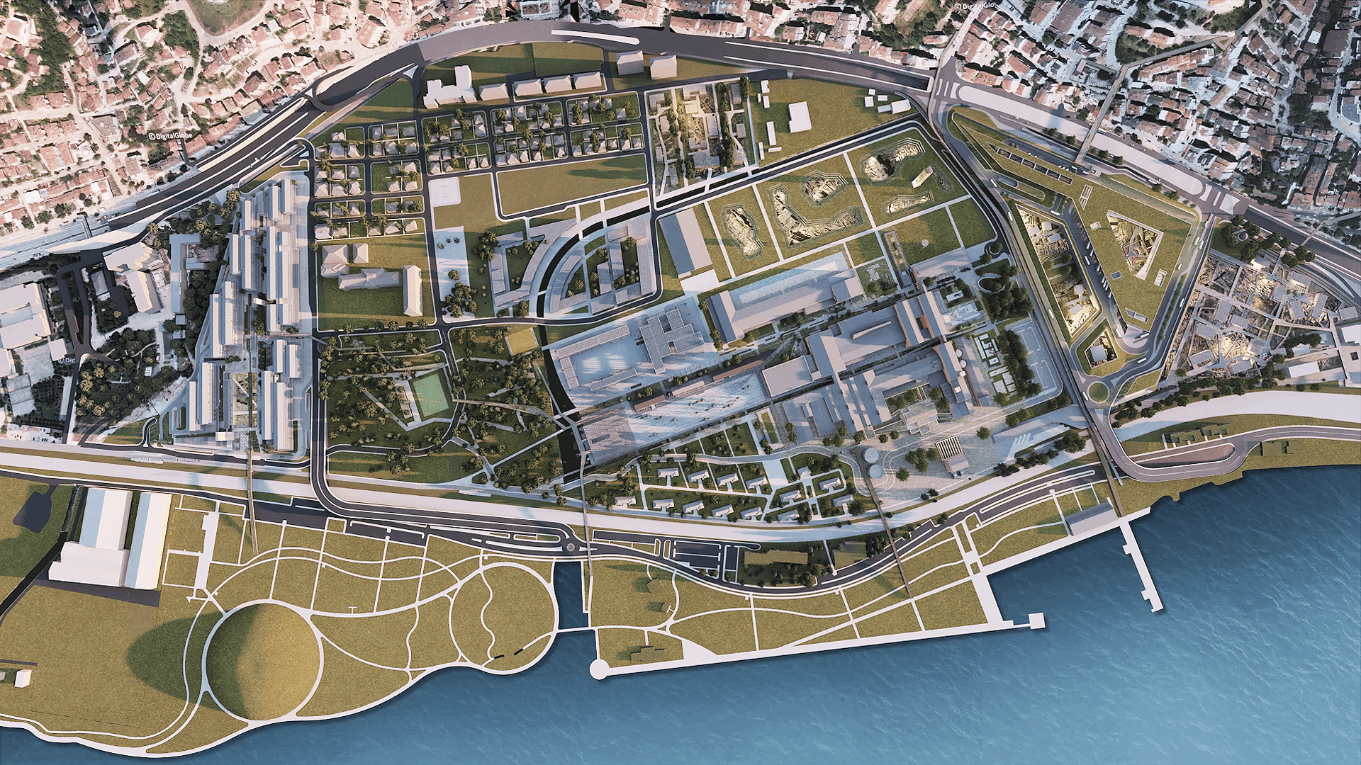
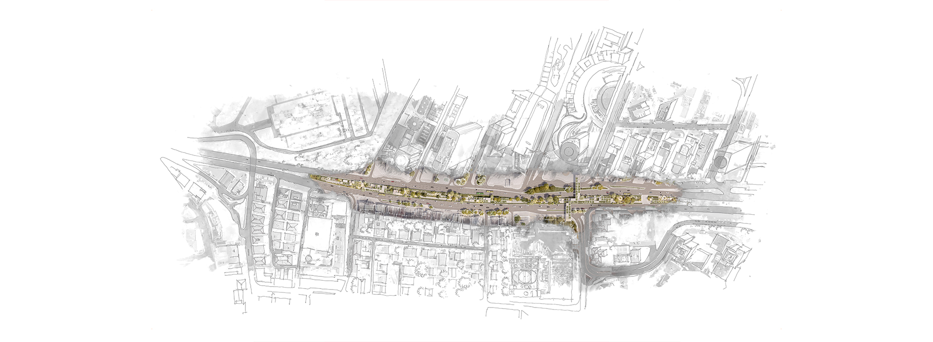
The Levent-Maslak axis, one of Istanbul’s important commercial arteries, is also located on this line. Although the buildings in the area are relatively new and form a qualified whole, it can easily be said that the area lacks a comprehensive planning strategy, and thus its environmental quality is quite problematic. The random placement of bus stops and metro connections, the disconnection between the east and west sides of the street, the irregularity and inadequacy of parking areas, and especially the interruption of pedestrian flow at many points, transform the region, which is expected to be a symbol of prestige, into a poor urban environment. The conceptual framework of the “Centipede” project was shaped precisely around these problems and deficiencies.
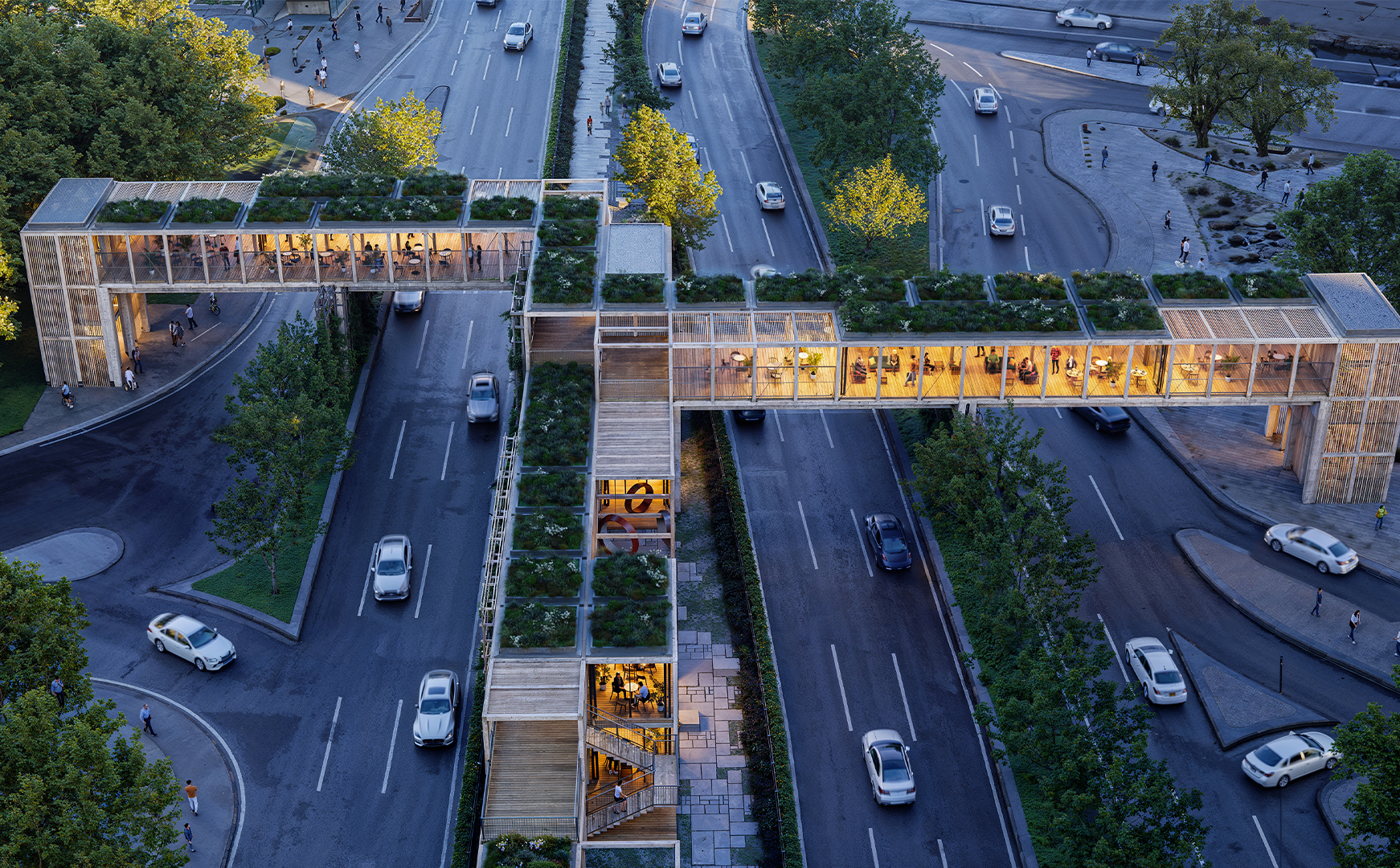
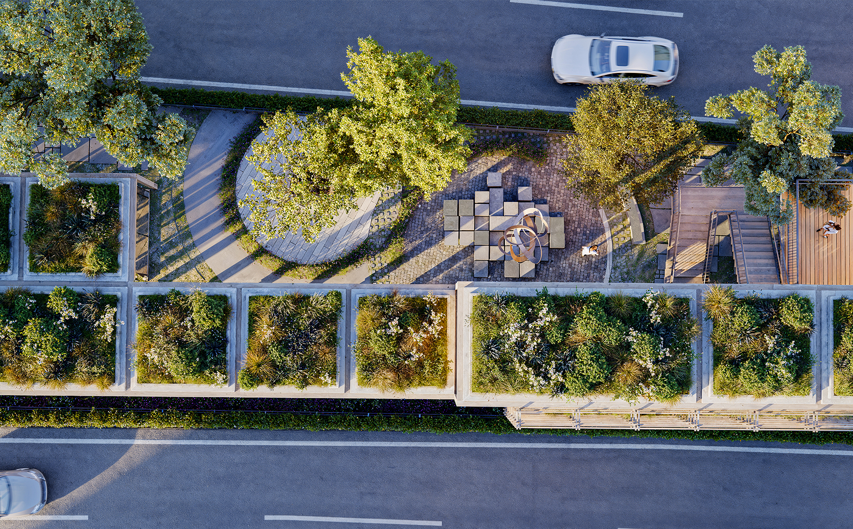
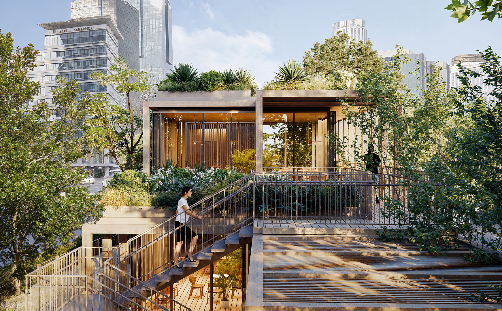
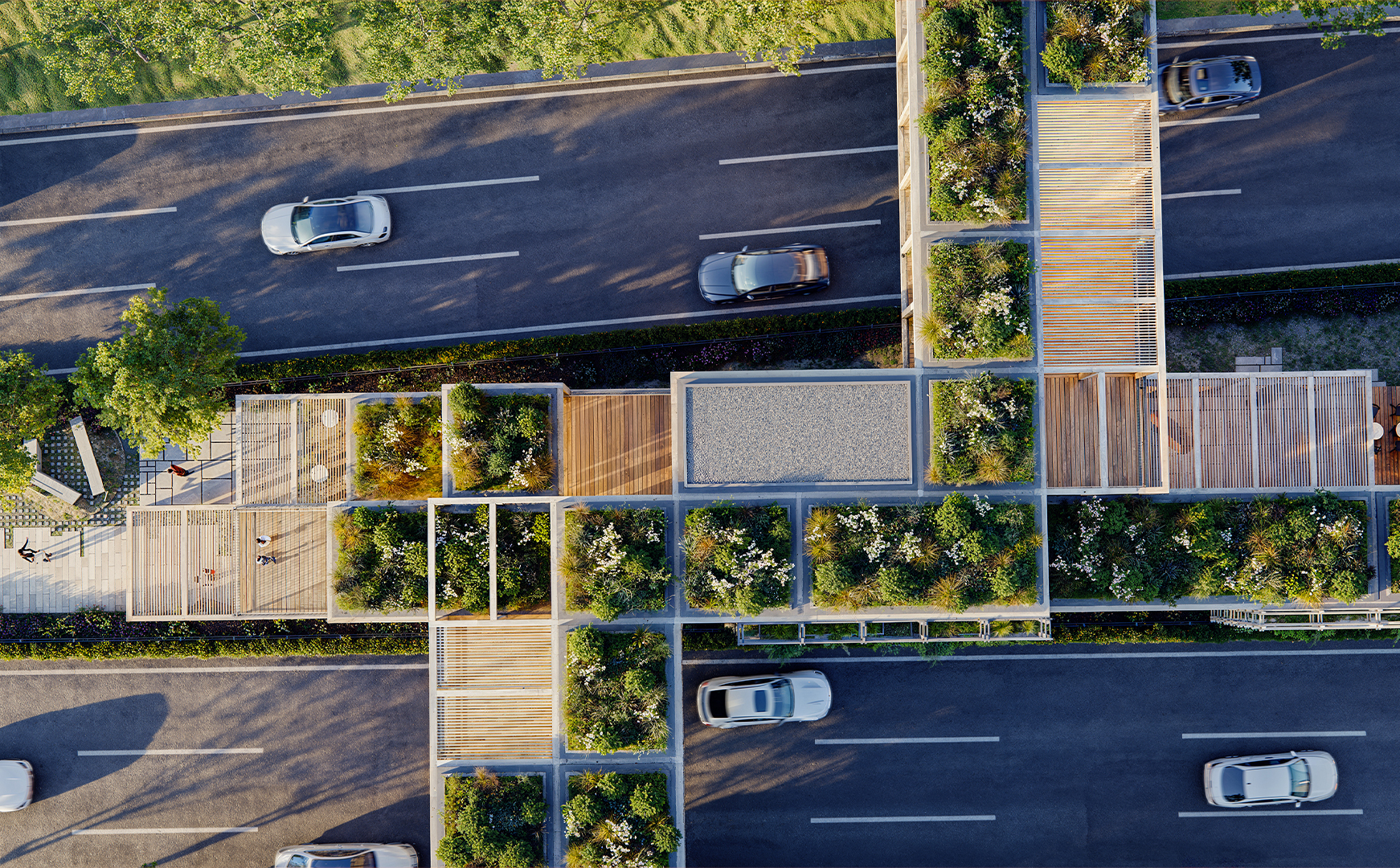
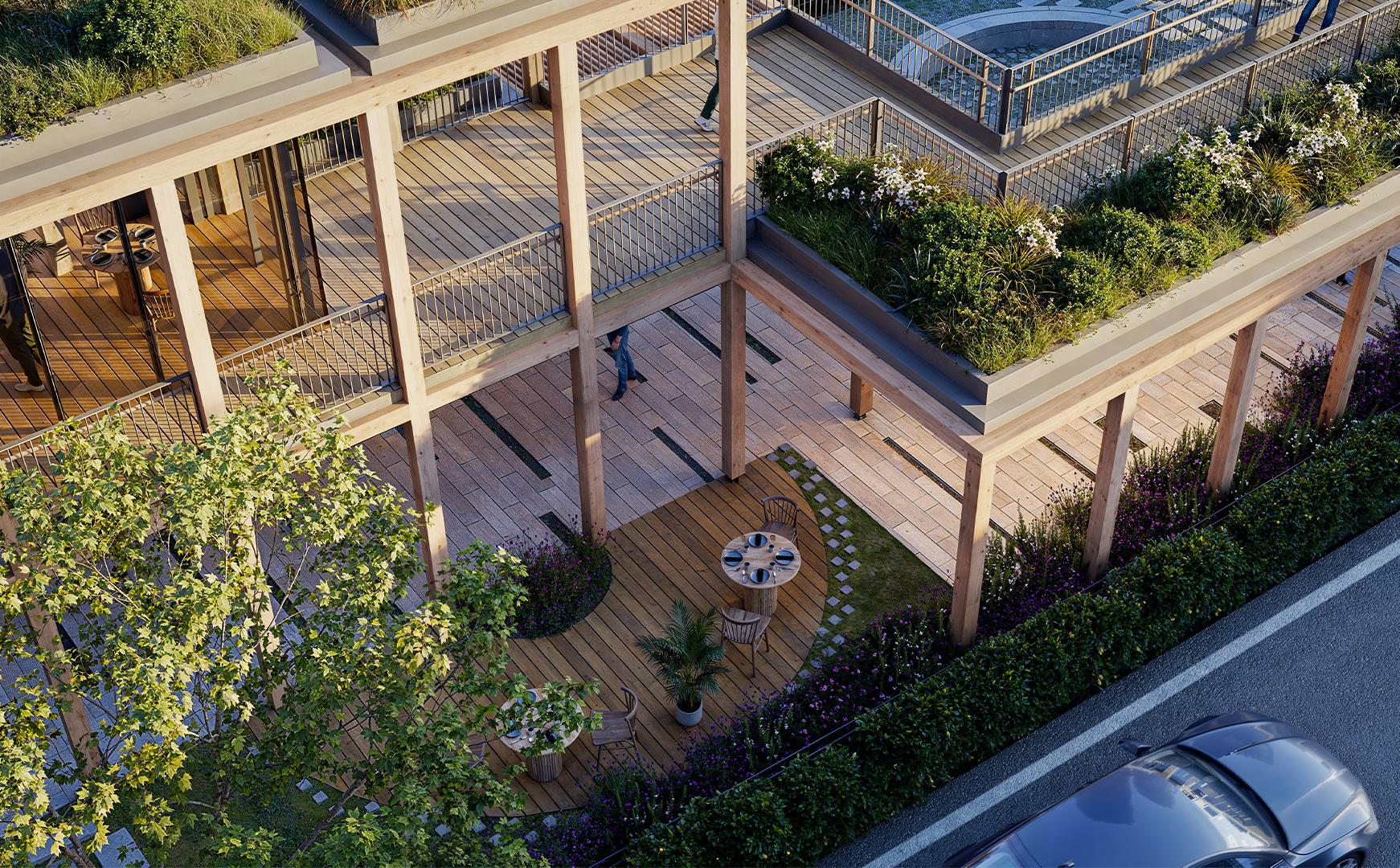
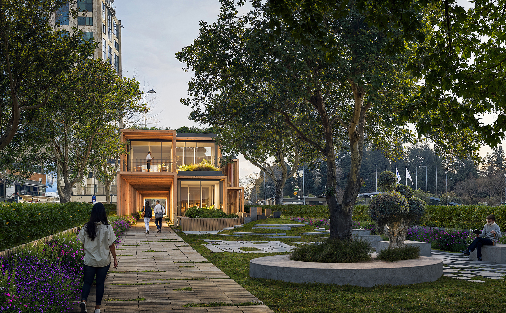
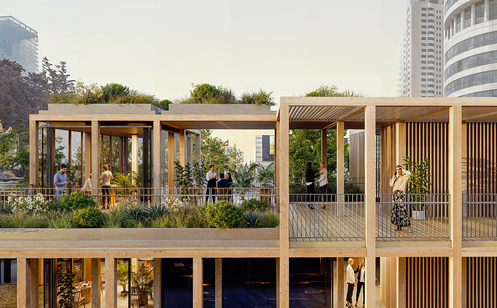
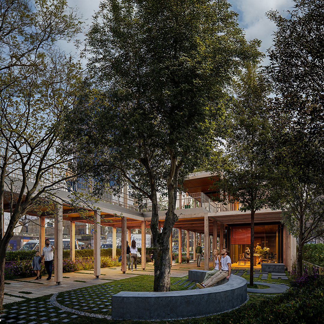
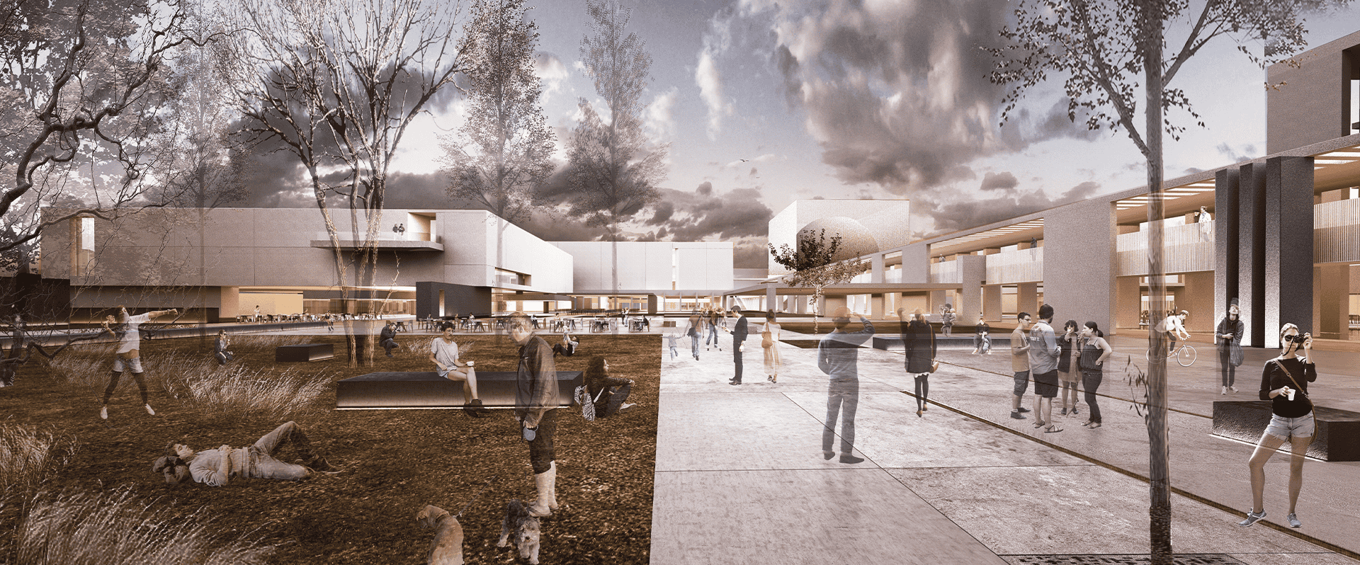
In this context, initially, the idea was to utilize the areas extending parallel to the street on both sides, which, despite being municipal property, are quite inefficient and unusable. The existing road routes were shifted towards these areas. Thus, a new, linear, and uninterrupted pedestrian path with an average width of about fifteen meters was produced between the separated roads. In this area, equipped with various services and cultural functions, a modular structural wooden framework was constructed. Enclosed, semi-enclosed, and open spaces, where the basic needs of users can be met, were integrated with a rich landscape texture. The approximately one-kilometer-long space was connected with pedestrian areas on the east and west sides of the road. In this context, both overpasses and underground connection points, incorporating the surrounding metro lines, were designed.
The Centipede project aims to serve as an important catalyst example for the holistic design and pedestrianization of Istanbul’s ‘hatt-ı bâlâ’.